D-RTK 3 Multifunctional Station
Maximized Precision, Enhanced Range
High-Precision Positioning and Relay System
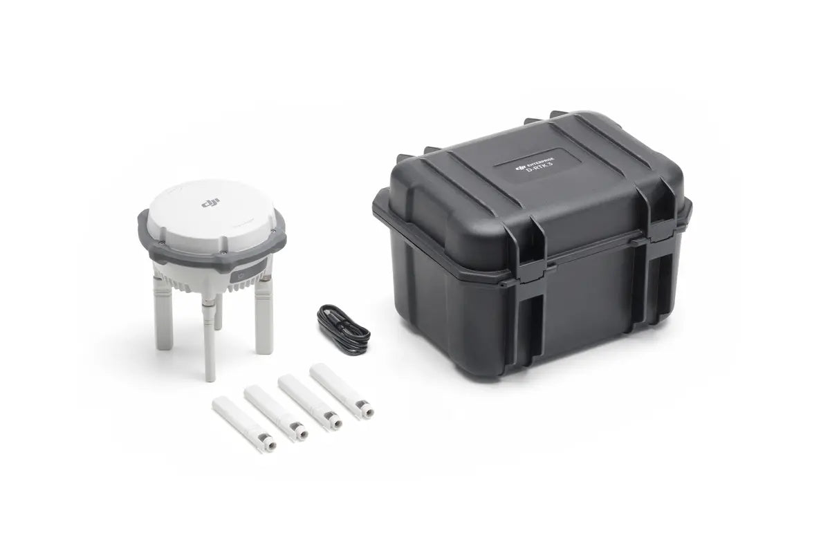
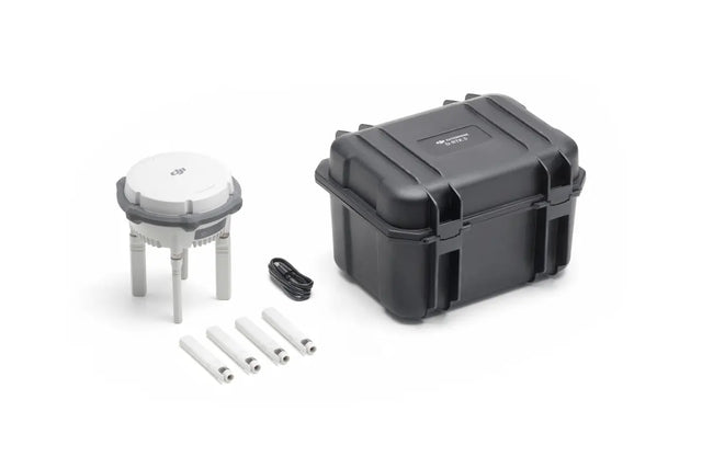
The D-RTK 3 Multifunctional Station is a cutting-edge solution that integrates high-performance antennas and receiver modules capable of tracking and processing data from major global satellite navigation systems. With support for multiple data transmission links, it serves as a versatile tool for various aerial operations.
Key Features
Multiple Modes, Versatile Control
Base Station Mode: Supports Simultaneous Operation of Multiple Models
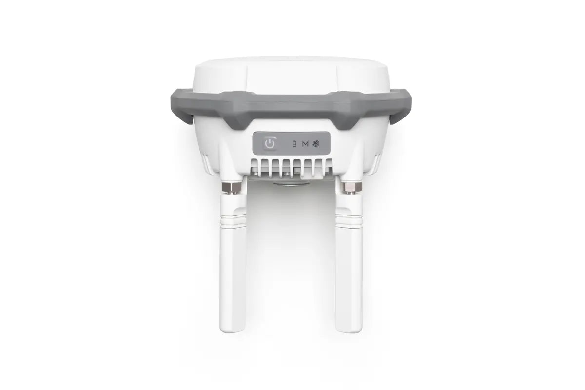
Extended Range: Equipped with four external directional antennas supporting the new O4 Enterprise video transmission system.
15 km Video Transmission: Ensures stable signals in all directions in base station broadcast mode.
Centimeter-Level Positioning: Allows multiple drones to connect simultaneously without additional configuration.
Relay Station Mode: Break Through Limitations
Enhanced Operational Range: Extends the operational distance of the Matrice 4 series up to 25 kilometers.
Obstruction Sensing: Works with the Matrice 4 Series to calculate obstructions and signal quality in real-time.
Optimal Communication: Operators receive prompts to adjust drone positions for the best signal.
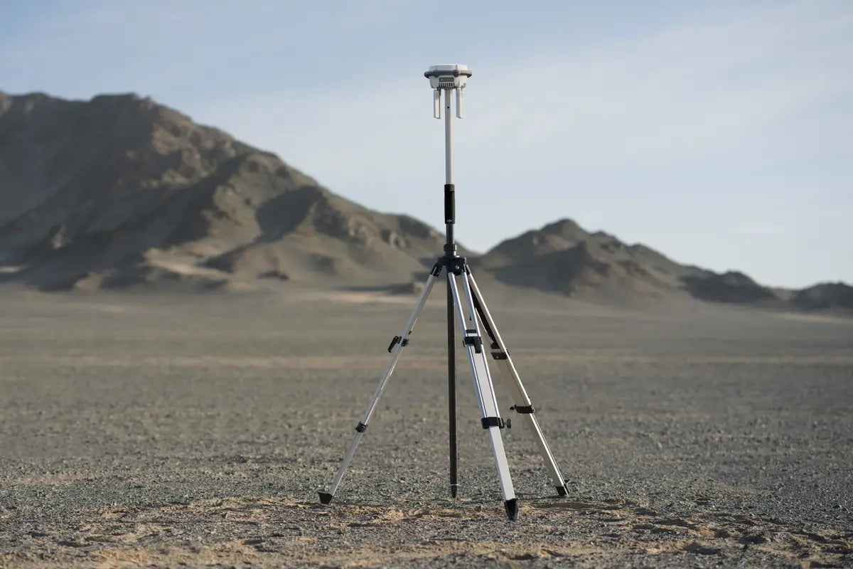
Rover Station Mode: Flexible and Efficient
Control Point Collection: Gathers coordinate data to improve UAV aerial survey accuracy.
Efficient Workflow: Enhances survey precision without the need for additional equipment.
Effortless High-Precision Positioning
Stronger Performance, More Accurate Positioning
Advanced Antenna Design: Features an air dielectric antenna with a filtering design for effective low-elevation satellite tracking.
Millimeter-Level Accuracy: Maintains antenna phase-center accuracy, ensuring resistance to multipath interference.
Multi-System Support: Receives satellite data from five major systems across nineteen frequency points.
Stable Results: Provides more accurate positioning under ionospheric effects compared to network RTK.
Standalone Precise Point Positioning (PPP)
DJI's Proprietary PPP Solution: Enables satellite-based auto convergence.
Decimeter-Level Positioning: Offers free high-precision positioning even in challenging network conditions.
Note: Currently supports BeiDou PPP-B2b only.
Network High-Precision Calibration
RTCM Data Reception: Automatically obtains coordinates and corrects positions through the network.
Centimeter-Level Precision: Achieves high-precision positioning without pre-measuring setup points when used outdoors.
DJI Integrated Mapping Solution
New DJI Enterprise App
Supports Ground Control Point (GCP) Setup and Tilt Compensation
Seamless Integration: Measure ground control point coordinates without third-party tools.
Efficient Workflow: Completes high-precision surveying tasks efficiently.
Tilt Compensation
Built-In IMU: High-precision inertial measurement unit allows for control point measurement without perfectly vertical positioning.
Operational Efficiency: Significantly improves efficiency in complex environments.
Supports Projection Coordinate Conversion
Comprehensive Database: Includes a mainstream projection coordinate database for direct planar coordinate output.
Compatible with DJI Terra for Efficient Data Processing
One-Click Import: Export rover measurements via the DJI Enterprise app and import into DJI Terra effortlessly.
Powerful Algorithms: Generate high-precision results with ease.
Supports Local PPK
Raw Data Recording: Supports recording raw satellite observations.
Easy Processing: Perform local PPK calculations with one click in DJI Terra version 4.4 or above.
Supported Models
Base Station Mode
Enterprise:
DJI Matrice 4 Series
DJI Matrice 3D/3TD
Matrice 300/350 RTK
Matrice 30 Series
DJI Mavic 3 Enterprise Series
Agriculture:
T60
T50/T25
T40/T20P
DJI FlyCart 30
Relay Station Mode
Supports Matrice 4E/Matrice 4T
Rover Station Mode
Supports Bluetooth 5.1, compatible with Android 10 and above*
See the tested compatibility phone list on the download page for details.
Professional Filmmaking
DJI Inspire 3
Accessories
Self-Locking Survey Pole
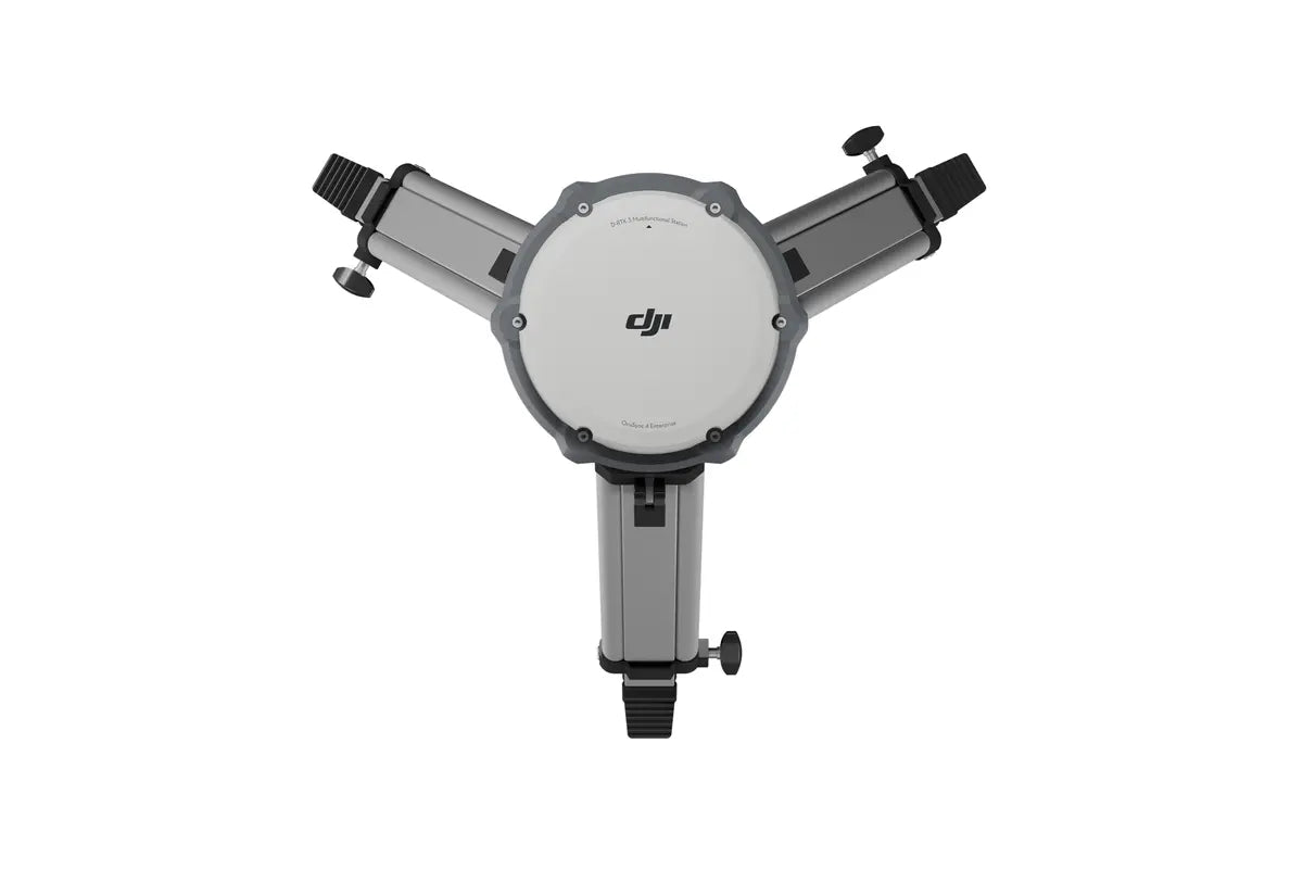
Dual-Lock Tripod
Specifications
Video Transmission Range: Up to 15 km in base station mode; up to 25 km in relay station mode.
Satellite Systems Supported: Tracks five major satellite systems across nineteen frequency points.
Bluetooth Compatibility: Bluetooth 5.1
App Compatibility: Android 10 and above
Why Choose D-RTK 3 Multifunctional Station?
Versatility: Switch between base station, relay station, and rover station modes as needed.
Precision: Achieve centimeter-level positioning for high-precision tasks.
Efficiency: Streamline your aerial surveying and mapping operations.
Compatibility: Supports a wide range of DJI drones and equipment.
Payment & Security
Payment methods
Your payment information is processed securely. We do not store credit card details nor have access to your credit card information.
