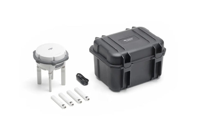
D-RTK 3 Multifunctional Station
Maximized Precision, Enhanced Range
High-Precision Positioning and Relay System
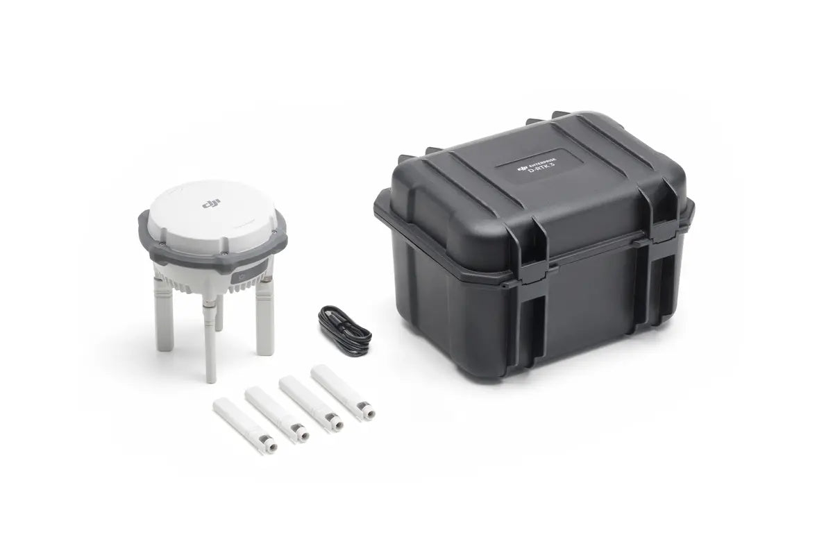
The D-RTK 3 Multifunctional Station is a cutting-edge solution that integrates high-performance antennas and receiver modules capable of tracking and processing data from major global satellite navigation systems. With support for multiple data transmission links, it serves as a versatile tool for various aerial operations.
Key Features
Multiple Modes, Versatile Control
Base Station Mode: Supports Simultaneous Operation of Multiple Models
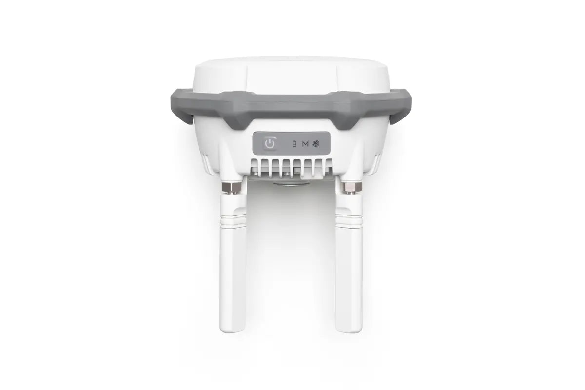
Extended Range: Equipped with four external directional antennas supporting the new O4 Enterprise video transmission system.
15 km Video Transmission: Ensures stable signals in all directions in base station broadcast mode.
Centimeter-Level Positioning: Allows multiple drones to connect simultaneously without additional configuration.
Relay Station Mode: Break Through Limitations
Enhanced Operational Range: Extends the operational distance of the Matrice 4 series up to 25 kilometers.
Obstruction Sensing: Works with the Matrice 4 Series to calculate obstructions and signal quality in real-time.
Optimal Communication: Operators receive prompts to adjust drone positions for the best signal.
Rover Station Mode: Flexible and Efficient
Control Point Collection: Gathers coordinate data to improve UAV aerial survey accuracy.
Efficient Workflow: Enhances survey precision without the need for additional equipment.
Effortless High-Precision Positioning
Stronger Performance, More Accurate Positioning
Advanced Antenna Design: Features an air dielectric antenna with a filtering design for effective low-elevation satellite tracking.
Millimeter-Level Accuracy: Maintains antenna phase-center accuracy, ensuring resistance to multipath interference.
Multi-System Support: Receives satellite data from five major systems across nineteen frequency points.
Stable Results: Provides more accurate positioning under ionospheric effects compared to network RTK.
Standalone Precise Point Positioning (PPP)
DJI's Proprietary PPP Solution: Enables satellite-based auto convergence.
Decimeter-Level Positioning: Offers free high-precision positioning even in challenging network conditions.
Note: Currently supports BeiDou PPP-B2b only.
Network High-Precision Calibration
RTCM Data Reception: Automatically obtains coordinates and corrects positions through the network.
Centimeter-Level Precision: Achieves high-precision positioning without pre-measuring setup points when used outdoors.
DJI Integrated Mapping Solution
New DJI Enterprise App
Supports Ground Control Point (GCP) Setup and Tilt Compensation
Seamless Integration: Measure ground control point coordinates without third-party tools.
Efficient Workflow: Completes high-precision surveying tasks efficiently.
Tilt Compensation
Built-In IMU: High-precision inertial measurement unit allows for control point measurement without perfectly vertical positioning.
Operational Efficiency: Significantly improves efficiency in complex environments.
Supports Projection Coordinate Conversion
Comprehensive Database: Includes a mainstream projection coordinate database for direct planar coordinate output.
Compatible with DJI Terra for Efficient Data Processing
One-Click Import: Export rover measurements via the DJI Enterprise app and import into DJI Terra effortlessly.
Powerful Algorithms: Generate high-precision results with ease.
Supports Local PPK
Raw Data Recording: Supports recording raw satellite observations.
Easy Processing: Perform local PPK calculations with one click in DJI Terra version 4.4 or above.
Supported Models
Base Station Mode
Enterprise:
DJI Matrice 4 Series
DJI Matrice 3D/3TD
Matrice 300/350 RTK
Matrice 30 Series
DJI Mavic 3 Enterprise Series
Agriculture:
T60
T50/T25
T40/T20P
DJI FlyCart 30
Relay Station Mode
Supports Matrice 4E/Matrice 4T
Rover Station Mode
Supports Bluetooth 5.1, compatible with Android 10 and above*
See the tested compatibility phone list on the download page for details.
Professional Filmmaking
DJI Inspire 3
Accessories
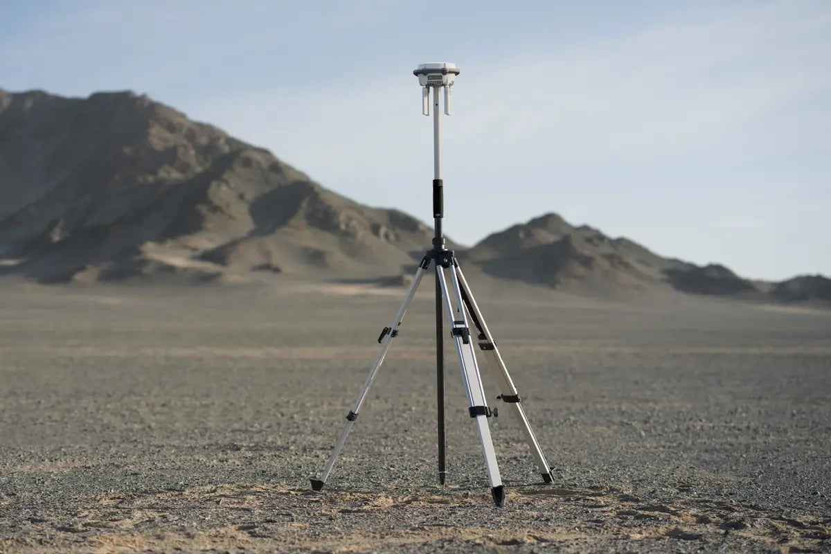
Self-Locking Survey Pole
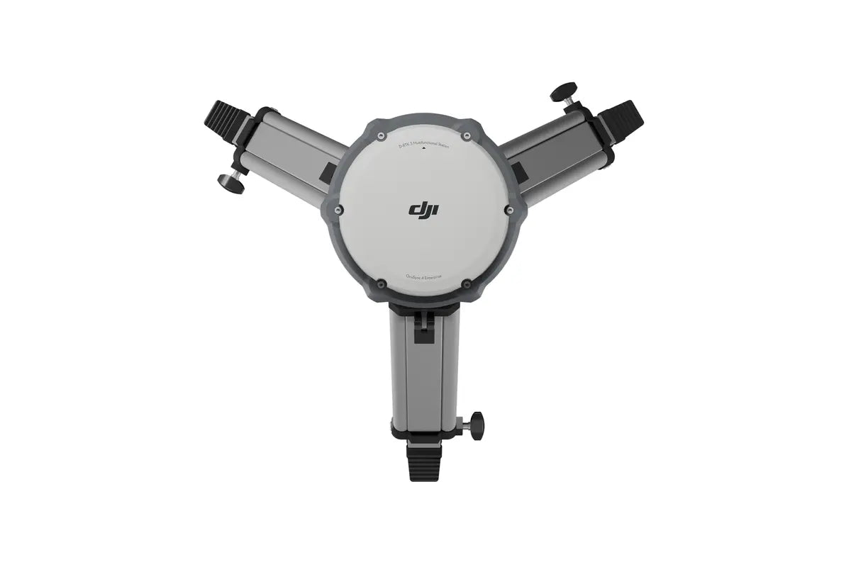
Dual-Lock Tripod
Specifications
Video Transmission Range: Up to 15 km in base station mode; up to 25 km in relay station mode.
Satellite Systems Supported: Tracks five major satellite systems across nineteen frequency points.
Bluetooth Compatibility: Bluetooth 5.1
App Compatibility: Android 10 and above
Why Choose D-RTK 3 Multifunctional Station?
Versatility: Switch between base station, relay station, and rover station modes as needed.
Precision: Achieve centimeter-level positioning for high-precision tasks.
Efficiency: Streamline your aerial surveying and mapping operations.
Compatibility: Supports a wide range of DJI drones and equipment.
Paiement et sécurité
Méthodes de payement
Vos informations de paiement sont traitées de manière sécurisée. Nous ne stockons pas les détails de votre carte de crédit et n'avons pas accès aux informations de votre carte de crédit.
